Dekorationsartikel gehören nicht zum Leistungsumfang.
Sprache:
Englisch
14,40 €*
Versandkostenfrei per Post / DHL
auf Lager, Lieferzeit 1-2 Werktage
Kategorien:
Beschreibung
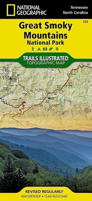
Detailed topographic map for Great Smoky Mountains National Park, with its endless forest that straddles the border between North Carolina and Tennessee, is the perfect recreational map for America's most visited national park. The map includes Great Smoky Mountains National Park in its entirety, the Appalachian Trail, Twentymile Trail, Lakeshore Trail, Chasteen Creek Trail, the Great Smoky Mountains, Chilowee Mountain, Little Mountain, the Blue Ridge Parkway, Cataloochee Divide, Pisgah National Forest, Cherokee National Forest, Nantahala National Forest, Little Tennessee River, Chilhowee Lake, Fontana Lake, Tuckasegee River, the cities of Maryville Tennessee, Gatlinburg Tennessee, Waynesville North Carolina, and more. Includes UTM grids for use with your GPS unit.
Detailed topographic map for Great Smoky Mountains National Park, with its endless forest that straddles the border between North Carolina and Tennessee, is the perfect recreational map for America's most visited national park. The map includes Great Smoky Mountains National Park in its entirety, the Appalachian Trail, Twentymile Trail, Lakeshore Trail, Chasteen Creek Trail, the Great Smoky Mountains, Chilowee Mountain, Little Mountain, the Blue Ridge Parkway, Cataloochee Divide, Pisgah National Forest, Cherokee National Forest, Nantahala National Forest, Little Tennessee River, Chilhowee Lake, Fontana Lake, Tuckasegee River, the cities of Maryville Tennessee, Gatlinburg Tennessee, Waynesville North Carolina, and more. Includes UTM grids for use with your GPS unit.
Über den Autor
Founded in 1915 as the Cartographic Group, the first division of National Geographic, National Geographic Maps has been responsible for illustrating the world around us through the art and science of mapmaking.Today, National Geographic Maps continues this mission by creating the world's best wall maps, recreation maps, atlases, and globes which inspire people to care about and explore their world.
Details
| Erscheinungsjahr: | 2008 |
|---|---|
| Produktart: | Karten & Stadtpläne |
| Rubrik: | Reisen |
| Medium: | (Land-)Karte |
| Seiten: | 2 |
| Inhalt: | Karte/Landkarte |
| ISBN-13: | 9781566953016 |
| ISBN-10: | 1566953014 |
| UPC: | 749717010086 |
| EAN: | 0749717010086 |
| Sprache: | Englisch |
| Autor: | National Geographic Maps |
| Redaktion: | National Geographic Maps |
| Auflage: | 2023rd edition |
| Hersteller: | National Geographic Maps |
| Maße: | 236 x 118 x 12 mm |
| Von/Mit: | National Geographic Maps |
| Erscheinungsdatum: | 01.06.2008 |
| Gewicht: | 0,095 kg |
Warnhinweis

