Dekorationsartikel gehören nicht zum Leistungsumfang.
Sprache:
Englisch
15,50 €*
Versandkostenfrei per Post / DHL
Aktuell nicht verfügbar
Kategorien:
Beschreibung
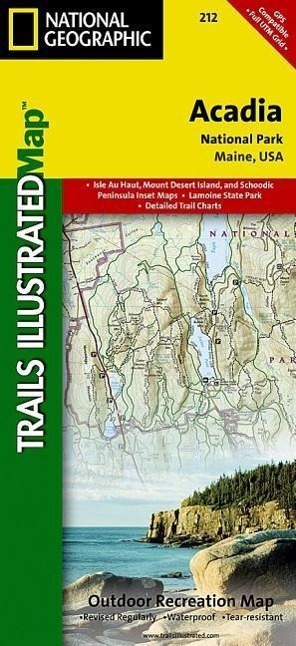
Updated to reflect road closings, new trails, and campground relocation, and includes detailed trail information, points of interest, trailheads, picnic areas, facitlities, and more. Features Mount Desert Island, Sestern Mountain, Norwood Ridge, Freeman Ridge, Isle au Haut, Marshall Island, Swans Island, Western Bay, Mount Desert Narrows, Eastern May, Frenchman Bay, Eastern Way, Eastern Passage, Long Pond, Seal Cove Pond, Echo Lake, Somes Sound, Upper and Lower Hadlock Pond, Jordan Pond, and Eagle Lake. Includes UTM tick marks for use with your GPS.
Updated to reflect road closings, new trails, and campground relocation, and includes detailed trail information, points of interest, trailheads, picnic areas, facitlities, and more. Features Mount Desert Island, Sestern Mountain, Norwood Ridge, Freeman Ridge, Isle au Haut, Marshall Island, Swans Island, Western Bay, Mount Desert Narrows, Eastern May, Frenchman Bay, Eastern Way, Eastern Passage, Long Pond, Seal Cove Pond, Echo Lake, Somes Sound, Upper and Lower Hadlock Pond, Jordan Pond, and Eagle Lake. Includes UTM tick marks for use with your GPS.
Über den Autor
Founded in 1915 as the Cartographic Group, the first division of National Geographic, National Geographic Maps has been responsible for illustrating the world around us through the art and science of mapmaking.Today, National Geographic Maps continues this mission by creating the world's best wall maps, recreation maps, atlases, and globes which inspire people to care about and explore their world.
Details
| Erscheinungsjahr: | 2009 |
|---|---|
| Produktart: | Karten & Stadtpläne |
| Rubrik: | Reisen |
| Medium: | (Land-)Karte |
| Seiten: | 2 |
| Inhalt: | Karte/Landkarte |
| ISBN-13: | 9781566953528 |
| ISBN-10: | 1566953529 |
| UPC: | 749717009905 |
| EAN: | 0749717009905 |
| Sprache: | Englisch |
| Autor: | National Geographic Maps |
| Redaktion: | National Geographic Maps |
| Auflage: | 2019th edition |
| Hersteller: | National Geographic Maps |
| Maße: | 240 x 116 x 10 mm |
| Von/Mit: | National Geographic Maps |
| Erscheinungsdatum: | 01.06.2009 |
| Gewicht: | 0,092 kg |
Warnhinweis

