Dekorationsartikel gehören nicht zum Leistungsumfang.
Sprache:
Englisch
12,30 €*
Versandkostenfrei per Post / DHL
Lieferzeit 1-2 Wochen
Kategorien:
Beschreibung
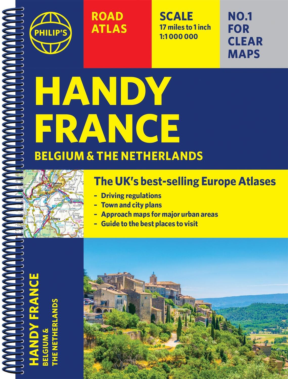
Philip's Handy Road Atlas of France, Belgium and The Netherlands features new digital cartography from Philip's - voted Britain's clearest and most detailed European mapping in an independent consumer survey. This compact A5 atlas with lie-flat binding is perfect for travelling across France and the surrounding countries.
Philip's Handy Road Atlas of France, Belgium and The Netherlands features new digital cartography from Philip's - voted Britain's clearest and most detailed European mapping in an independent consumer survey. This compact A5 atlas with lie-flat binding is perfect for travelling across France and the surrounding countries.
Über den Autor
Philip¿s Maps
Details
| Erscheinungsjahr: | 2021 |
|---|---|
| Produktart: | Karten & Stadtpläne |
| Rubrik: | Reisen |
| Medium: | Taschenbuch |
| Seiten: | 64 |
| Inhalt: | Kartoniert / Broschiert |
| ISBN-13: | 9781849075565 |
| ISBN-10: | 1849075565 |
| Sprache: | Englisch |
| Einband: | Kartoniert / Broschiert |
| Autor: | Philip'S Maps |
| Hersteller: | Octopus Publishing Group |
| Maße: | 156 x 211 x 12 mm |
| Von/Mit: | Philip'S Maps |
| Erscheinungsdatum: | 03.06.2021 |
| Gewicht: | 0,116 kg |
Warnhinweis

