65,95 €*
Versandkostenfrei per Post / DHL
Lieferzeit 2-3 Wochen
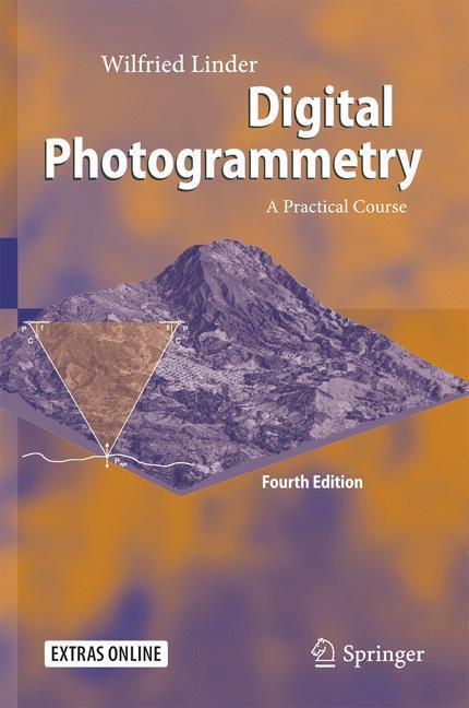
The main part of the book contains several tutorials. In increasing complexity, accompanied by texts explaining further theory, the reader can proceed step by step through the particular working parts. All intermediate as well as the final results are discussed with reference to accuracy and error handling, and included in the data sets to provide controls. Most of the standard work in Digital Photogrammetry is shown and trained, for example scanning, image orientation, stereo plotting, aerial triangulation measurement (manual and automatic), block adjustment, automatic creation of surface models via image matching, creation of ortho images and mosaics, and others. Examples of both aerial and close-range photogrammetry present the power of this kind of measurement techniques. 3-D images can be viewed with the accompanying 3-D glasses.
During the time since the last edition, the software development went on, and therefore it was necessary to adopt the text to the actual program versions which were also tested to work properly under MS Windows 10. Few options which are obsolete nowadays were removed, some new options were added, the handling of the software was simplified in several places, and so on. For the use of own images taken with a custom digital camera, a new chapter offers an easy way of lens calibration and explains how to get good results with a minimum of work.
The software is not limited to the example data included but may be used for personal projects. Part ofthe book comprises a complete description of the software.
Wilfried Linder, born in 1959, studied mathematics and geography at the University of Hannover (1979-85). Thereafter, he was employed as a scientific assistant at the Universities of Osnabrück/Vechta, Hannover and Düsseldorf. In 1990 he received his Ph.D in geography, followed in 1993 by one in geodesy. He is now private lecturer at the University of Düsseldorf, Institute for Informatics.
Offers a complete course with text, powerful software and example data
Software is not limited to the included examples, own projects/images can be processed
Suitable for self-studies or university training
Includes supplementary material: [...]
| Erscheinungsjahr: | 2016 |
|---|---|
| Fachbereich: | Geografie |
| Genre: | Geowissenschaften |
| Rubrik: | Naturwissenschaften & Technik |
| Medium: | Buch |
| Seiten: | 236 |
| Inhalt: |
xxiii
209 S. 76 s/w Illustr. 209 p. 76 illus. With 3-D glasses. With online files/update. |
| ISBN-13: | 9783662504628 |
| ISBN-10: | 3662504626 |
| Sprache: | Englisch |
| Herstellernummer: | 978-3-662-50462-8 |
| Ausstattung / Beilage: | HC runder Rücken kaschiert |
| Einband: | Gebunden |
| Autor: | Linder, Wilfried |
| Auflage: | 4th ed. 2016 |
| Hersteller: |
Springer Berlin
Springer Berlin Heidelberg |
| Maße: | 241 x 160 x 19 mm |
| Von/Mit: | Wilfried Linder |
| Erscheinungsdatum: | 03.08.2016 |
| Gewicht: | 0,524 kg |


